
Anyways, onto the photos. I'll put some up on DeviantArt later.
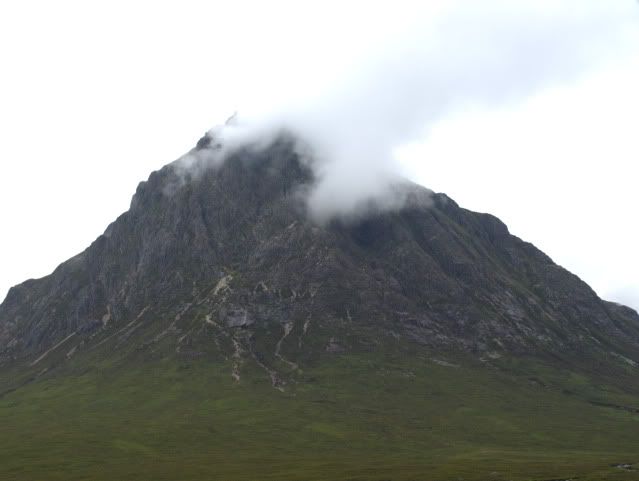
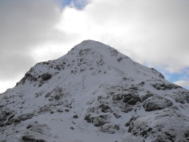
I took this picture a half hour down the road before we arrived. It sits at the end of the glen and so provides a nice sight to see on the way in. I've actually climbed this one before sometime last year.
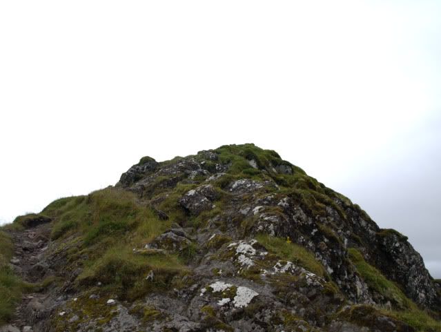
So here we are at the top of the mountain that sits at the starting side of the ridge.
A few steps on will bring us to this area.
Looking left from the previous photo will get you this lovely view of the downward side.
Then the climbing begins here with this 20 foot drop that you have to descend very carefully.
After that descent and a climb back up what I can only describe as a rocky ladder, you're welcomed to this view. Though this is as much walking as I would be doing.
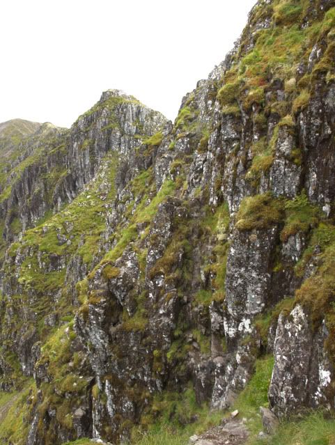
Now we've gotten to the end of that last path, here's where things get interesting.
here's a little closeup of that area ahead, at least, that we can see. The terrain is something akin to teeth.
Now we're at the top of the first little peak, let's see what's on the other side.
Yep, more crazy stuff. Please not photos got harder to take due to the terrain and my need to stay steady so the next few will show the remaining areas.
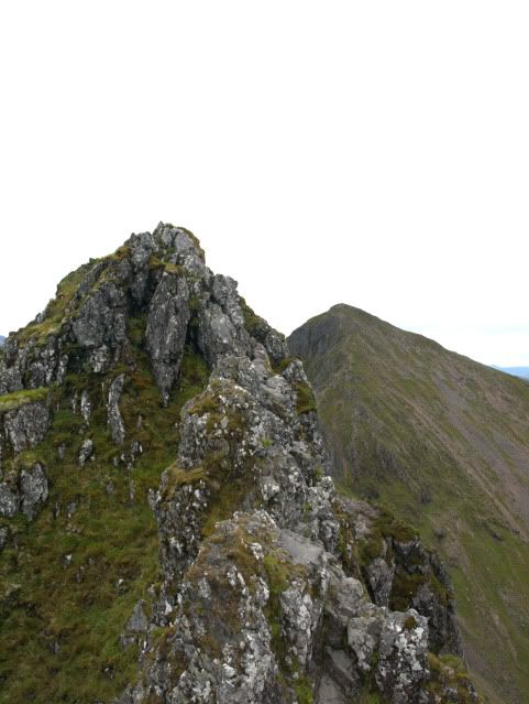
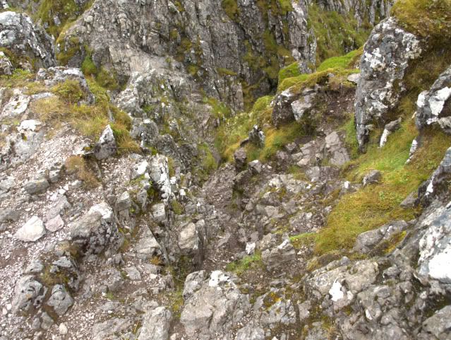
This was definitely the most interesting one. It was impossible to get up due to it being sheer so we had to go down and around, which proved to be an extremely tricky piece of scrambling, made harder by that fact that the rocks were mostly slick with water. Finding hand and footholds was a long and difficult process.
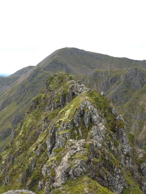
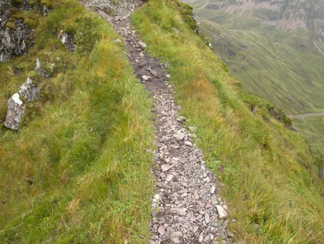
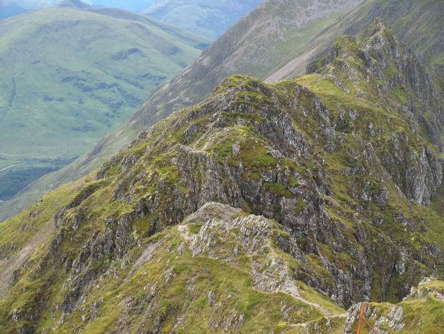
This one wasn't so bad but still very dangerous to traverse, you can just make out the path on the right side there.
Here's a view of that last bit from the other end. Yes, I actually climbed on the side of that bit there for some of the time.

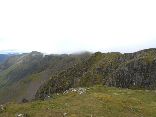
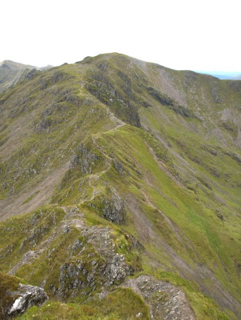
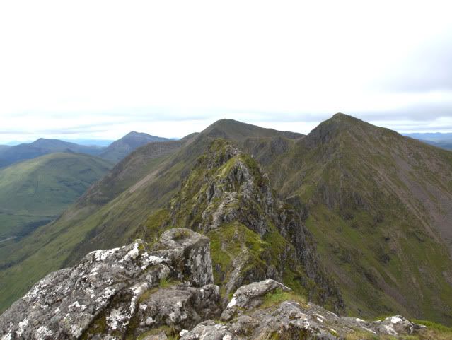
And here's a quick look back at the ridge from the top of the mountain at the end. You can see the starting area in the back before it moves to the left and comes back into the picture before turning into the tooth like ridge. In all, 3 hours to get over it.
Now while were' at the top, let's see what views we have around us.
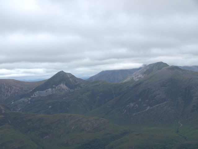
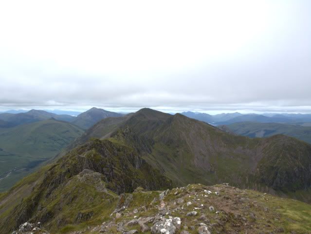
Looking north of the ridge you can see some more mountains. The one in the back, just in the middle, topped with cloud is actually Ben Nevis, the UKs highest mountain.
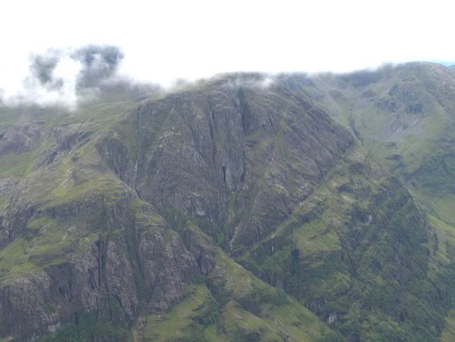
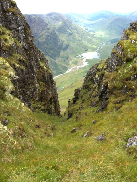
Looking back to the south and into Glen Coe you can see...well another mountain. Most eye catching is the big black gash in the side there.
It's actually a cave and is rumored to lead you to the top of the mountain, though whether that means someone can actually go through it or not remains to be seen. We've decided to go back in the future and try and get to the cave entrance and maybe even find the alleged passage to the top if it exists.


 Think human rabbit warrens and you're not too far off.
 Happy 27th Anniversary Fringes Of Algo


